
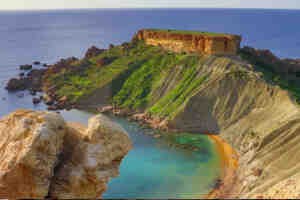
| 1. | Imgiebah Bay |
| 2. | Qarraba Bay |
| 3. | Slugs Bay |
| 4. | Island Edge Lido |
| 5. | Paradise Bay |
| 6. | Mistra Bay |
1. Imgiebah Bay in Selmun, Mellieha
Imgiebah is a very nice beach near Selmun Tower in Mellieha. However, it’s quite a long walk to access on foot, especially in the Summer heat, and parking is limited to only a few cars.
This beach is mostly known nowadays by dog owners since it’s the only of two clean sandy beaches I know where dogs are allowed to swim in Malta. There are no facilities at all here but on the bright side, the beach is not visited by lots of people and the water here is turquoise. That’s why many boats often stop here to admire the natural unobstructed views and bathe on this secluded beach.
2. Qarraba Bay, Mgarr
Qarraba Bay is a secluded, panoramic beach located in Mgarr between Gnejna Bay and Ghajn Tuffieha (Riviera) Bay.
If you ask the locals few will know its name as many know it as the nudists’ beach. In fact, though this is a very nice beach nudists come to this secluded place to “hide” since nude beaches are illegal in Malta. However, now with the popularity of canoes on the islands, hiding behind the cliffs of this sandy beach.
3. Slugs Bay, Limits of Mellieha
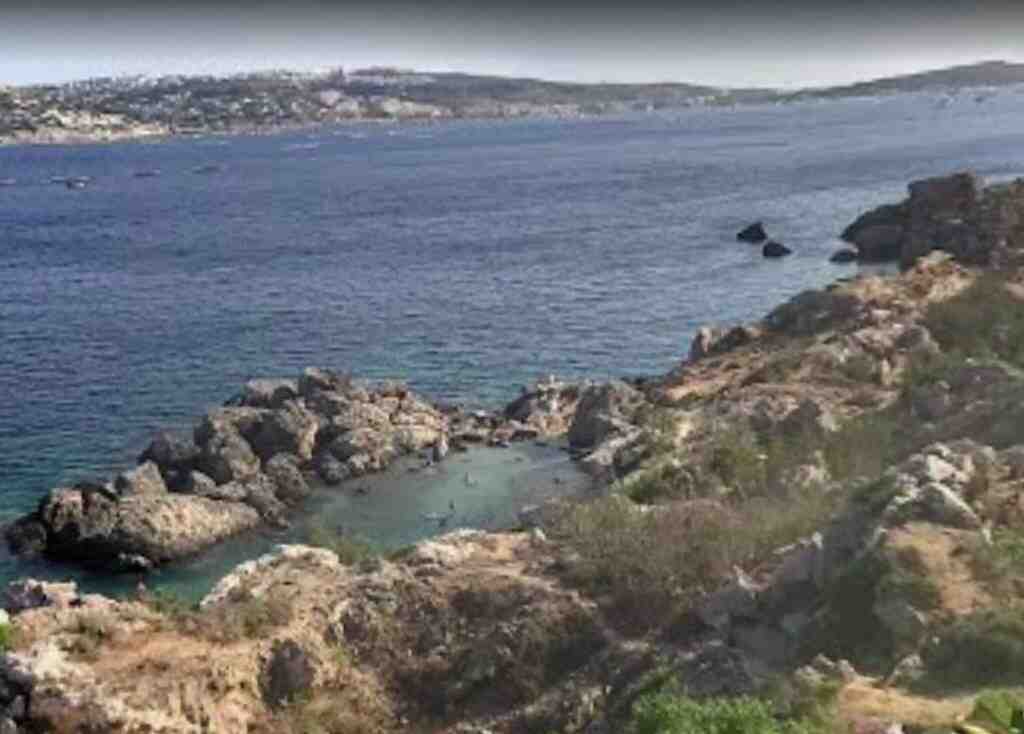
Slugs Bay is a secluded, tiny, pocket beach with a few square meters of sand located on the Marfa ridge overlooking Mellieħa Bay.
The bay can be reached over difficult terrain descending along a cliff slope. Access to the water is restricted due to rocks jutting from the sea. Consequently, little or no development has taken place and the bay is largely in pristine condition. The bay took its name from the dark brown, sea-slug which can be found in its waters. The rare indigenous plant the pancratium maritimum is abundant in the area in August.
4. Island Edge Lido Beach, Cirkewwa
Island Edge Lido beach is located at Ċirkewwa the northern tip of the island, close to the Gozo ferry terminal. It is managed by the Paradise Bay Resort and receives a Blue Flag Status Award for sustainable management every year. It boasts views of the Island of Comino.
The beach offers all services including parking facilities. The bus terminus for Valletta is situated a few meters away from the beach. Ċirkewwa can be reached by bus numbers 41 and 42.
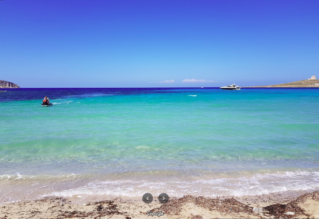
5. Paradise Bay, Cirkewwa
Paradise Bay and Paradise Bay Hotel Beach are two sandy beaches at the northernmost tip of the island, close to the quay where the Gozo ferry operates a shuttle service daily for Gozo.
This hotel beach is a quiet spot that offers tranquillity – a getaway with a view of a busy environment in the distance. The beach also offers a good view of the island of Comino with its imposing tower. It is open to the public as well as for hotel residents. The water is crystal clear and ideal for family relaxation.
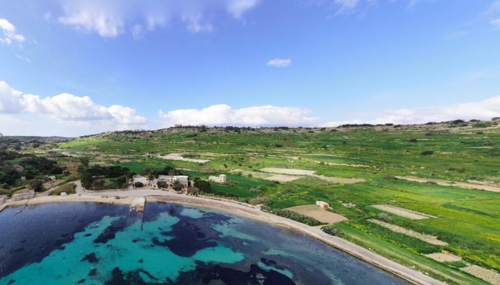
6. Mistra Bay, Limits of Mgarr
Mistra Bay is a pebble beach situated between Xemxija Bay and Selmun.
Mistra, like Xemxija, has a long history of occupation that goes back to the Phoenicians and Roman rule. It has a number of caves in the area that were used as burial places. Others were used for refuge, shelter, and to monitor the bay. A natural depression on one side of the bay now shelters different plant species. The military battery built by the knights, visible at the edge of the cliff, is now being used for Aquaculture. Fish farming pens are present at the outer part of the bay.
You might like more…
Nicest beaches in Malta:
- Armier Bay Beaches and the Crystal Turquoise Sea!
- Mellieha Bay – Ghadira
- Golden Bay Beach
- Ghajn Tuffieha Riviera Beach
- The Best 40 Beaches In Malta For A Great Stay


Leave a comment